
Mapping the Missing Link Between Historic Streets and Riverfront Public Spaces
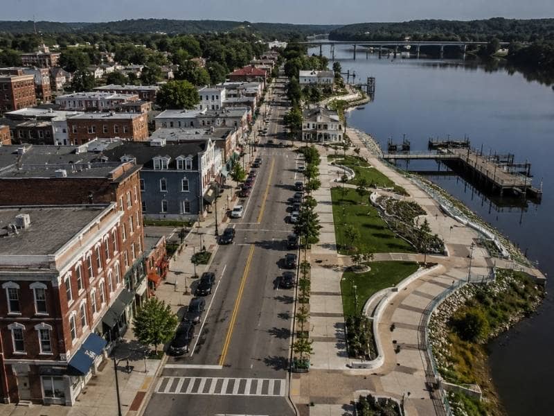
A historic riverfront district holds two versions of itself. One lives in the courthouse, drawn on plats from a century ago. The other lives on the ground, rebuilt and patched so many times the two barely match. When a community wants to connect its old streets to new public spaces along the water, someone has to map the gap between those versions first.
Reconstructing the Original Public Street Framework
The oldest records hold the legal skeleton. Historic plats show the streets as the founders drew them, with set widths and block lines that still control today. It does not matter what later construction did on top. Dedication papers and right-of-way documents fill in what the plats leave out.
The surveyor gathers every generation of these records and reads them in order. Order decides everything. A later change only counts if someone had the power to make it. A street widened in one decade and partly closed in another carries all that history in its current legal shape. Sorting the layers takes patience. Skipping it leaves a project guessing about the most important line in the district, the split between public and private ground.
Field evidence then tests the paper. Found markers, original curbs and old building faces either back up the rebuilt framework or push against it. The surveyor settles those arguments before the design team draws anything.
Following Pedestrian Connections Across Separate Properties
Walkers cross property lines without noticing. A route from the old main street to the water might pass over a public sidewalk, a corner of private land, a stairway someone’s grandfather built and a plaza the city maintains but never formally bought. The route works fine until a project or a sale asks who owns each piece.
The survey answers parcel by parcel. Ownership limits get set along the whole connection. Recorded rights get matched to each private stretch the public crosses. Some stretches turn out to have proper easements behind them. Others rest on decades of friendly habit and nothing else. That becomes a real problem when rebuilding money arrives. Finding those weak links early lets the community fix them with agreements instead of lawyers.
Capturing Features That Shape Accessible Route Design
Accessible design lives or dies on small numbers. A ramp that runs a bit too steep fails. A side slope a hair over the limit fails with it. General mapping never catches detail at that level, so the survey has to. Crews measure the route the way a wheelchair meets it. The features that control the design include:
- Curbs, ramps and landings, with the exact slope across each
- Steps and stairs, with the height and depth of every tread
- Side slopes along each walking surface
- Doorways and entrances where the route meets buildings
- Walls, rails and surface changes that pinch or bend the path
Designers work straight from these numbers. They learn where the current route already passes, where small fixes will do and where full rebuilding is the only honest answer. Without this detail, the problems show up during construction, which is the most expensive place to learn anything.
Locating Cultural Elements Without Treating Them as Ordinary Obstacles
Historic districts are full of objects that matter more than they look. A stone wall, an iron fence, a memorial, a row of old trees or the base of a vanished building might be the reason visitors come at all. On a careless survey, each one becomes an unlabeled shape that a grading plan happily erases.
Careful records prevent that. The surveyor locates these features closely, measures them, takes photos and labels the drawing so a designer knows what each one is. A note reading “historic wall” changes how every later professional treats that line. The choice made in the field quietly decides whether the district’s character survives its own improvement project. That makes it one of the biggest choices on the job.
Producing a Base Map Shared by Planners, Designers, and Property Owners
Riverfront projects draw a crowd of professionals. Landscape architects shape the spaces. Transportation engineers handle the streets. Preservation experts guard the history, and utility owners protect their lines. When each group works from its own base map, their plans disagree in a hundred small ways. Those disagreements surface during construction as delays and extra costs.
One shared survey base ends most of that before it starts. Boundaries, right-of-way, ground shape, structures and cultural features all live in one accurate framework that every group uses. Conflicts still happen. Now they become real design talks instead of fights about whose drawing shows the curb correctly. Property owners gain too, since the shared base shows exactly how the public project meets their land. The district gets one version of the truth, and every plan that follows stands on it.